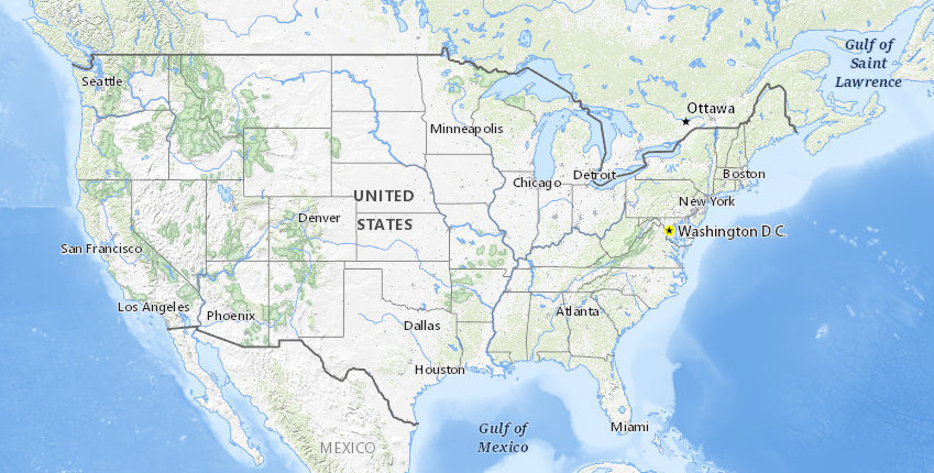
Accessing NASA FIRMS fire data WMS with QGIS
How about a continuously updated, near real-time global data set for fires? At https://firms.modaps.eosdis.nasa.gov/map/, the system is described as “The Fire Information for Resource Management System (FIRMS) distributes Near Real-Time (NRT) active...

