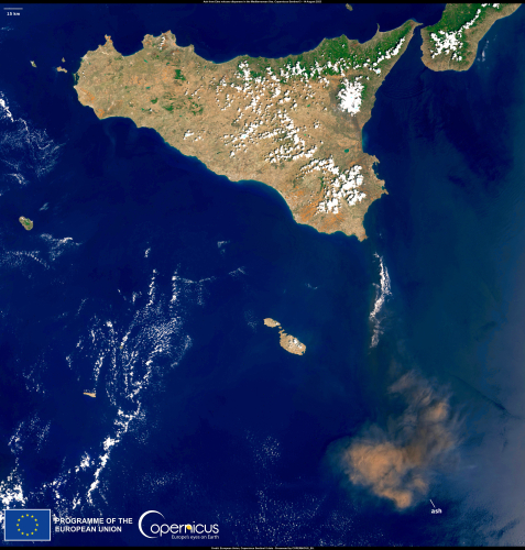
Today´s post is more or less a link: Copernicus image of the day. As you might have guessed, it features daily images from the Copernicus programme, the “the Earth observation component of the European Union’s Space programme”.
“Image of the day” features images from the Sentinel-2 and Sentinel-3 missions, documenting events such as climate change, fires, heatwaves, floods, hurricanes, coral bleaching, Saharan dust, volcanic eruptions etc. Some examples from the last few days:


More about using Sentinel imagery for remote sensing in coming posts.
